
Kì:li
Mapping the Indigenous East
Listening to communities. Connecting land, water, and cultural memory.
Kì:li brings Indigenous-led research and counter-mapping together to support rematriation across the East.
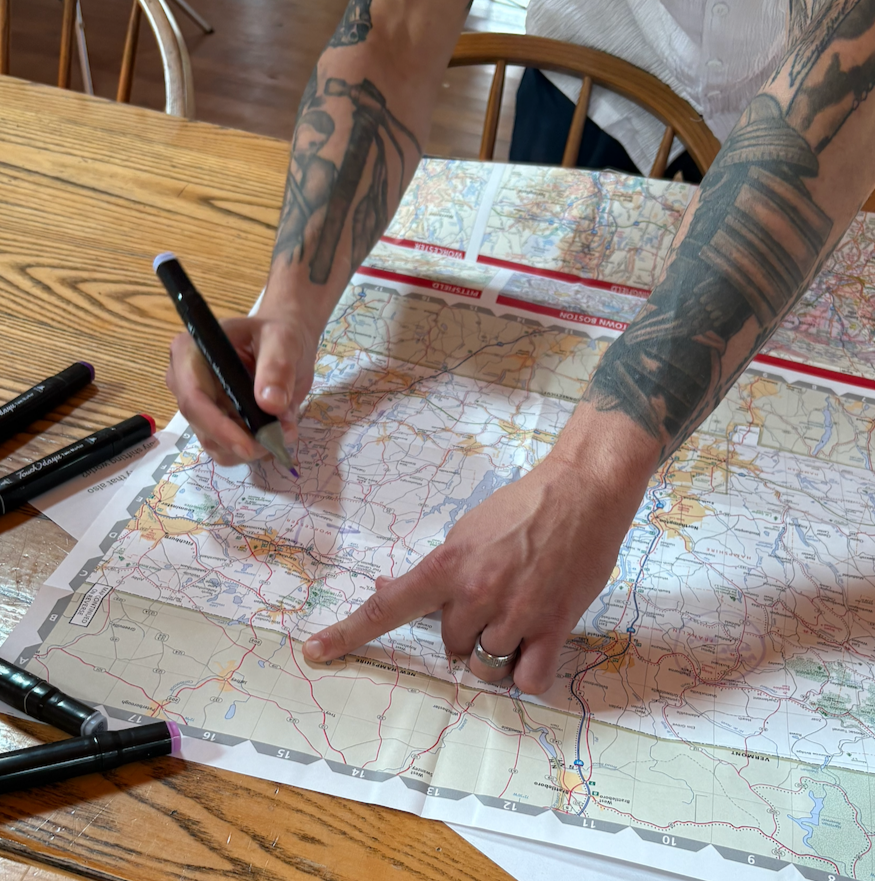
Community knowledge.
Collective possibility.
Mapping starts with listening.
Kì:li — Mapping the Indigenous East is our Indigenous-led mapping and conservation priorities project, developed in partnership with the Open Space Institute.
Through interviews, Traditional Ecological Knowledge, spatial data, and community-identified priorities, we learn from Tribal leaders, elders, culture keepers, land and water protectors, farmers, educators, and organizers across the Northeast, Mid-Atlantic, and Ohio River Basin.
Knowledge in community hands
Communities guide what is shared. Consent, confidentiality, and Indigenous data sovereignty shape how knowledge is gathered and represented. Public mapping does not include every relationship or place important to a community.
See the scale of rematriation.
Our Land Rematriation Projects map brings together projects we have identified across the East. Explore the growing picture of Indigenous stewardship, land return, and possibility — and the distinct communities carrying this work.